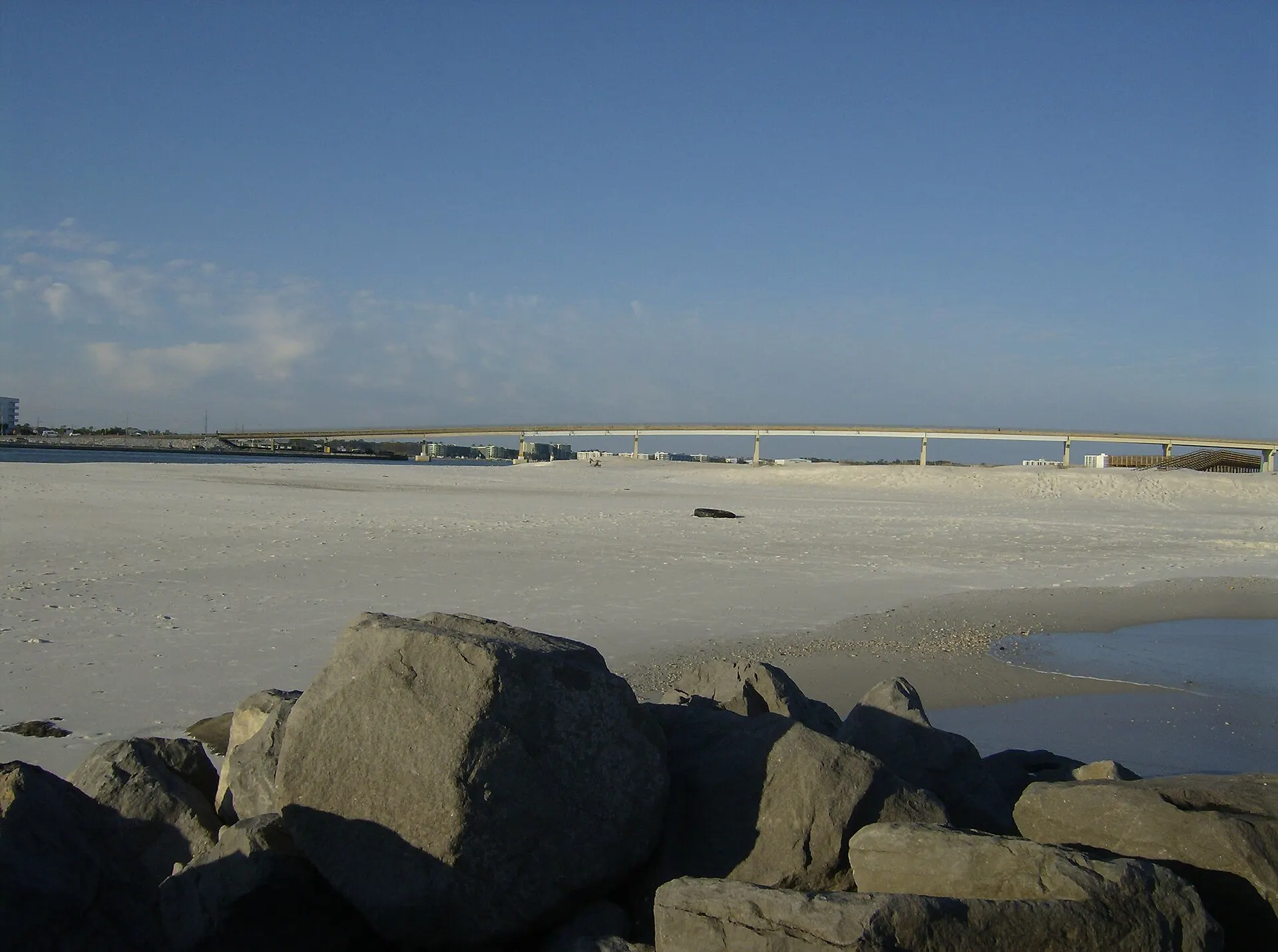
Perdido Pass seen from the east jetty
Plan your trip

Distances from Gulf Shores and Orange Beach

By road, Gulf Shores is about 33 miles from Pensacola, 48 from Mobile, 79 from Destin and 190 from New Orleans. Orange Beach is a few miles closer to everything in Florida. All distances are driving routes, measured from the public beach at Gulf Place in Gulf Shores and from The Wharf in Orange Beach.

See the distances
Checked November 2, 2026Miles and drive times20 destinations

Perdido Pass, Orange Beach, Alabama · Photo: Joey Eads / Wikimedia Commons, Public domain · Credits

Along the Gulf

Pensacola, Destin, Biloxi and New Orleans

Road miles and driving time without traffic or road work, rounded.

Day trips with drive times

Distances along the Gulf Coast
ToFrom Gulf Shores (Gulf Place)From Orange Beach (The Wharf)
Perdido Key, Florida16 mi, 29 min15 mi, 26 min
Pensacola, Florida33 mi, 58 min31 mi, 55 min
Pensacola Beach, Florida41 mi, 1 h 15 min39 mi, 1 h 12 min
Mobile, Alabama48 mi, 1 h 10 min49 mi, 1 h 5 min
Destin, Florida79 mi, 2 h 18 min78 mi, 2 h 15 min
Biloxi, Mississippi109 mi, 2 h 20 min111 mi, 2 h 15 min
Panama City Beach, Florida126 mi, 3 h 31 min125 mi, 3 h 28 min
New Orleans, Louisiana190 mi, 3 h 48 min191 mi, 3 h 43 min
Driving down

From the cities most visitors drive from

From any of these cities, Orange Beach and Gulf Shores are only a few miles apart at the end of the drive.

Distances to cities
ToFrom Gulf Shores (Gulf Place)From Orange Beach (The Wharf)
Montgomery, Alabama188 mi, 3 h 48 min188 mi, 3 h 43 min
Jackson, Mississippi236 mi, 4 h 59 min238 mi, 4 h 54 min
Birmingham, Alabama276 mi, 5 h 24 min276 mi, 5 h 20 min
Atlanta, Georgia348 mi, 6 h 44 min348 mi, 6 h 39 min
Memphis, Tennessee427 mi, 8 h 33 min428 mi, 8 h 28 min
Nashville, Tennessee465 mi, 8 h 50 min465 mi, 8 h 46 min
Houston, Texas515 mi, 9 h 39 min517 mi, 9 h 34 min
Close by

Foley and Dauphin Island

The car ferry from Fort Morgan saves more than 50 miles to Dauphin Island. It takes no reservations and stops in bad weather; call 251-861-3000 on a windy day.

Mobile Bay Ferry

Foley

Distances to Foley and Dauphin Island
ToFrom Gulf Shores (Gulf Place)From Orange Beach (The Wharf)
Tanger Outlets, Foley9 mi, 17 min9 mi, 16 min
OWA, Foley11 mi, 21 min7 mi, 13 min
Foley Railroad Museum11 mi, 20 min11 mi, 18 min
Dauphin Island with the Fort Morgan ferry28 mi32 mi
Dauphin Island by road through Mobile84 mi, 2 h 1 min86 mi, 1 h 56 min
Airports

How far the airports are

Airport routes end at Gulf Place in Gulf Shores and at Cotton Bayou beach in Orange Beach.

Airports and flights

Distances to airports
AirportTo Gulf Shores (Gulf Place)To Orange Beach (Cotton Bayou)
Pensacola (PNS)38 mi, 1 h 8 min31 mi, 56 min
Mobile Regional (MOB)65 mi, 1 h 37 min73 mi, 1 h 42 min
Mobile Downtown (BFM), expected to open in spring 202751 mi, 1 h 15 min59 mi, 1 h 21 min
Destin–Fort Walton Beach (VPS)99 mi, 2 h 17 min93 mi, 2 h 5 min